
Teruel - Calaceite
230.6 kmA 231 km day to cross from Teruel to the Matarraña, linking Gúdar, the heart of the Silent Route and the run-in to Calaceite. The key is not to stop at everything: keep some margin, put fuel first and choose two or three landmarks to take in calmly.
Before you set off
<p>Before you set off: full tank and the route loaded in Calimoto and Google Maps. This is a long day to ride on your own; prioritise refuelling, the central block of the Silent Route and reaching Calaceite in daylight. If the day gets difficult, cut the optional stops first: do not turn the run-in into a race.</p>
Valdelinares, Teruel, España Coffee stop
What part it plays in the day
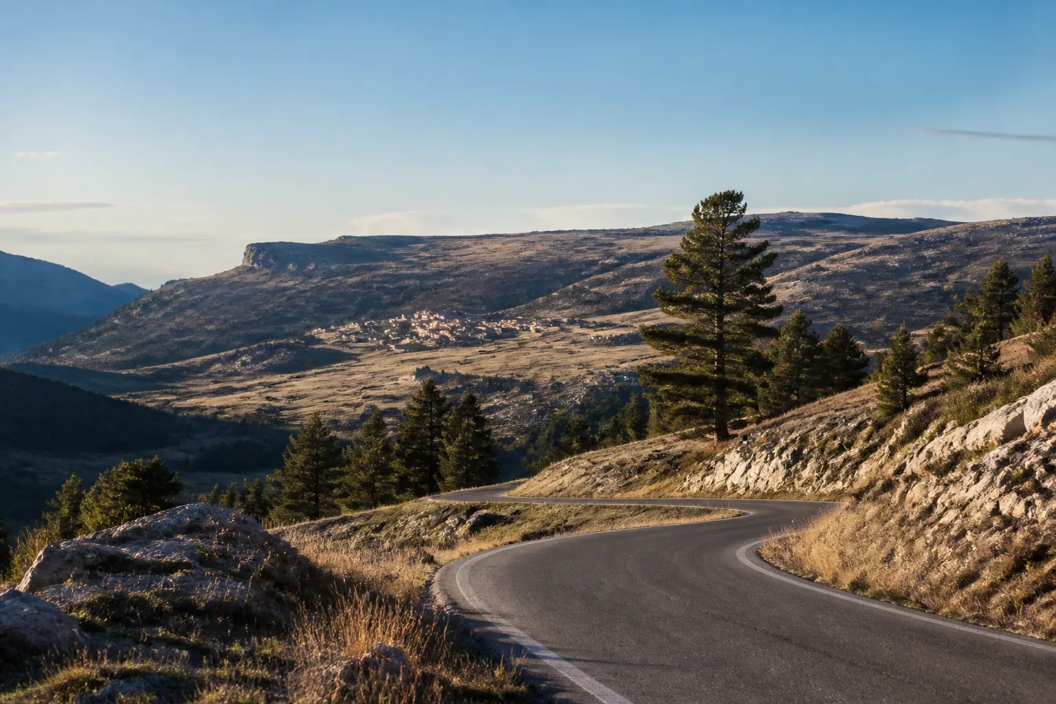
What it is: The village belongs to the Sierra de Gúdar and the official entry consulted places its tourist office on the plaza de la Iglesia. In this edition it is treated as a passing reference and as a logistics option. The office is not presented as a roadside service, and there is no promise of opening hours, reserved parking or a specific visit. The location opened by the map button is the point saved for this entry; check it again when you set off if you are looking for another access.
Why it is here: Valdelinares appears at the start as an adjustment pause, not as a target to tick off. The exit from Teruel is still building the rhythm: there are curves, changes of altitude and a 231 km day ahead. If you set off with a full tank and you are running with good margin, this spot lets you ease the tension for a moment, check your gloves and confirm that the navigation is still loaded. The useful question is not how long you can linger, but whether the stop improves the day without stealing daylight from the central block.
This is a good place to ask yourself whether you are riding at the pace you want to hold all day. A self-guided route is better enjoyed when the decisions are made before you enter the technical section. Keep margin for refuelling, for the Maestrazgo landmarks and for the arrival in Calaceite. Valdelinares adds when it settles you; if it scatters your attention, its value lies precisely in being able to ride on without stopping.
Rough timing: 5-15 min
How to use the stop
Stop only if you arrive with margin and you can pull the bike off without blocking the road. A short pause for water, layers and navigation is enough.
The recommended experience is to watch the change of landscape and get back to riding, not to turn this reference into an excursion.
Use the navigation link in this mini-guide to approach the exact point. Do not confuse the coordinate in the entry with a guaranteed parking space. Move clear of the road before you take your helmet off and respect local activity.
When to cut it short
If the start has dragged, ride past: the next commitment is refuelling, and after that the most concentrated part of the route begins.
If you are running late, tired, cold or unsure about the surface, skip the stop. Missing it does not change how the itinerary reads or remove the main block.
Estación de Servicio Petronor - Repsol Refuel
The check that protects the day
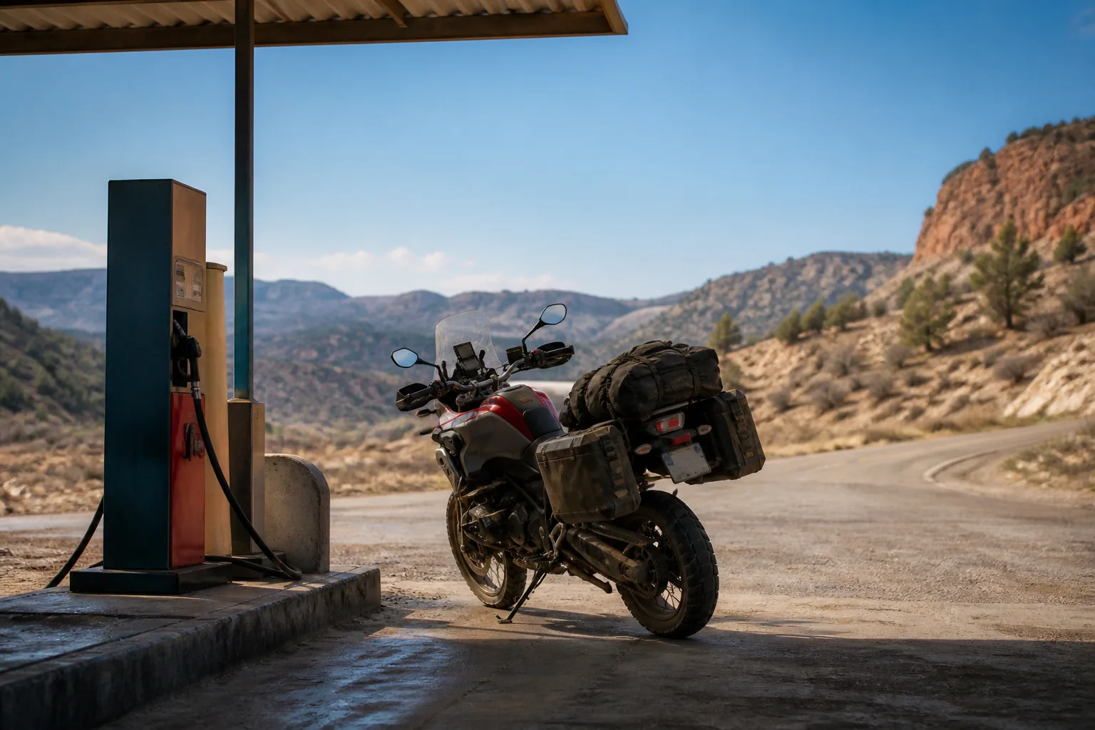
What it is: The associated map entry identifies a station named Estación de Servicio Petronor - Repsol at the point saved for this route. The operator's official check is the source for re-reading the station and its services, but opening hours, availability, payment methods and any incident can change. That is why the experience does not promise that the pump will be open or that a particular service will exist on the day you set off. The map in this mini-guide opens the coordinates of the entry and does not replace that check.
Why it is here: This entry is not here to sell you a pleasant pause: it is here to help you make a range decision. The day leaves Teruel with a long route, then enters secondary roads and concentrates its most distinctive part around the Silent Route. Even if you set off with a full tank, a preventive refuel reduces the chance of turning a fuel doubt into an improvised search once you are inside the central block.
On a day like this, refuelling is not an interruption: it is a way of buying peace of mind. The route moves from an open approach into a section where you want to look at the landscape and keep your riding clean. Arriving at that point with the tank sorted lets you enjoy more and watch the warning light less. If the station is not available, do not force the plan: the mature decision is to redraw the sequence and keep your margin, not to carry on out of habit.
Rough timing: before the central block
How to use the stop
Check the real fuel level and decide before you ride past. If you can refuel, do it without turning it into a long stop.
The rule is simple: confirmed range first; photo, coffee and detours afterwards.
Check the navigation link, the name and the position. Check the operator's opening hours on the day and work out your range with a prudent reserve. Do not use the manufacturer's nominal figure if you are carrying luggage, riding into wind or riding mountain roads.
Park tidily, respect traffic in the station and do not block entrances. If you only need water or a toilet, decide whether the stop fits with the fuel priority.
When to cut it short
If it is closed, busy or does not offer the service you need, find a real alternative before you continue. Do not enter the technical section hoping that another station will appear a few km later.
The Silent Route (Puerto Cuarto Pelado) Regroup
The change of chapter
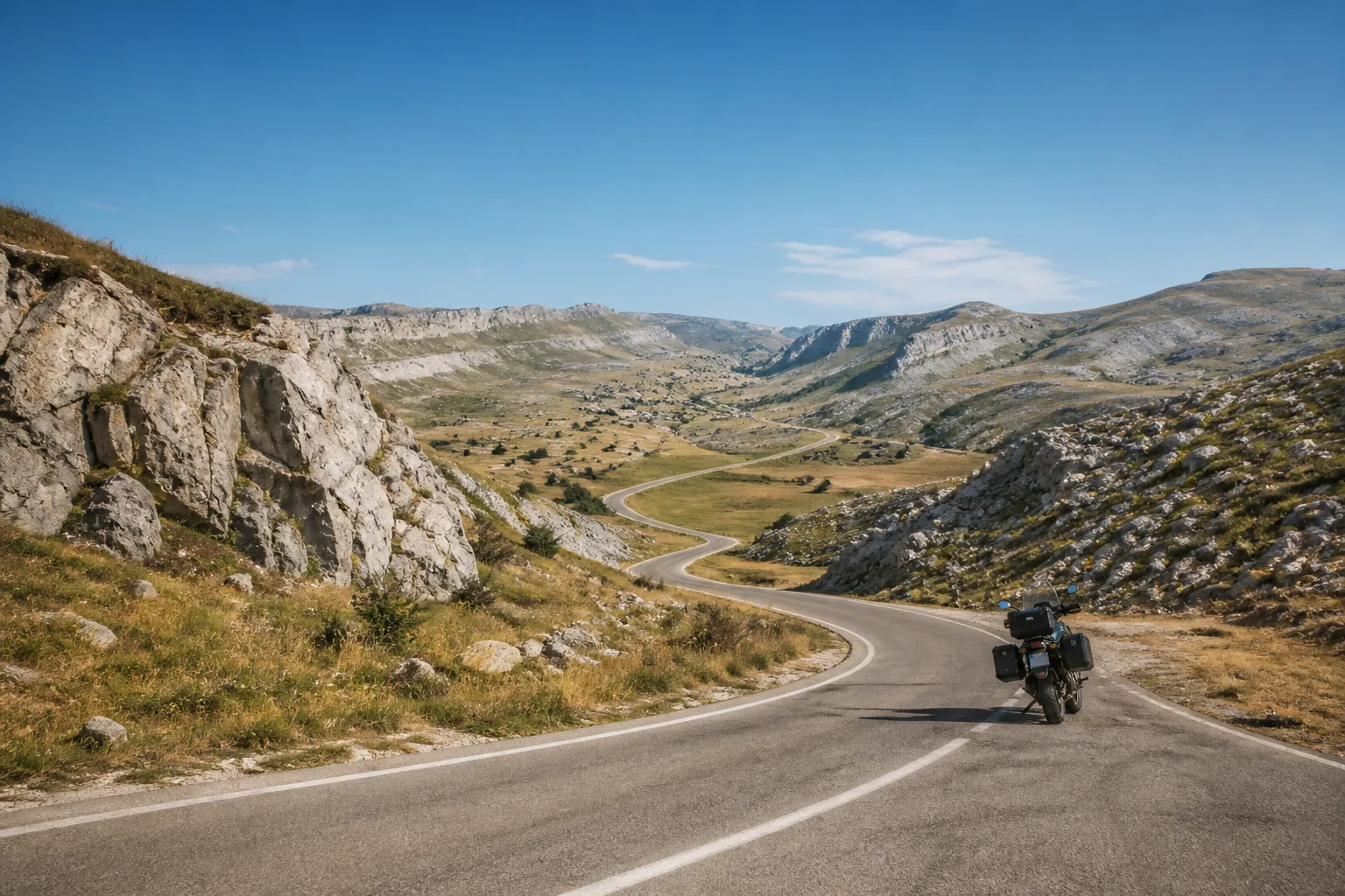
What it is: Puerto Cuarto Pelado works as a mental border inside the day. Up to here you have built the exit from Teruel; from here the block that gives the experience its name begins. The official Maestrazgo tourism source places The Silent Route between Gargallo and the Puerto de Cuarto Pelado. In this route it serves as a regrouping and reading point, not as a promise of an equipped viewpoint, a café or a fixed visiting time.
Why it is here: This point deserves attention because it orders the day, not because it forces you to stay in it.
The value of The Silent Route is not in collecting nine photos, but in linking a road with character and enough margin to enjoy it. If you arrive here with a clear head, you will read the curves better, choose which viewpoints deserve a stop and let the rest go. If you arrive tired, this pause lets you recognise it before you commit to the section. On a self-guided route, knowing how to change pace is part of the trip too.
Rough timing: 10 min
How to use the stop
The important decision is to stop just long enough to change mode: check fuel, temperature, gloves, battery and the next stage. The secondary, exposed road deserves attentive riding. The landscape invites you to look, but the route is better enjoyed when your eyes go back to the surface, the line and local traffic. This entry is linked to the start of the technical section and its location can be opened in Google Maps.
Take a short, deliberate pause. Confirm that the map is still downloaded or accessible, that your phone has battery and that the next cut-off is clear.
Open the navigation with the coordinate in this entry and then link it to the Google Maps leg saved for the day. The coordinate is a reference point for the stop; always find a safe place to stop and do not stay on the road or on a narrow verge.
When to cut it short
If you are running late, do not make up time by speeding: reduce the stops ahead and hold a pace you can sustain.
With cold, rain, wind or doubtful surface, adapt the decision. The fact that the route is published does not make the conditions suitable.
Mirador de las Dehesas Viewpoint
A pause to read the territory
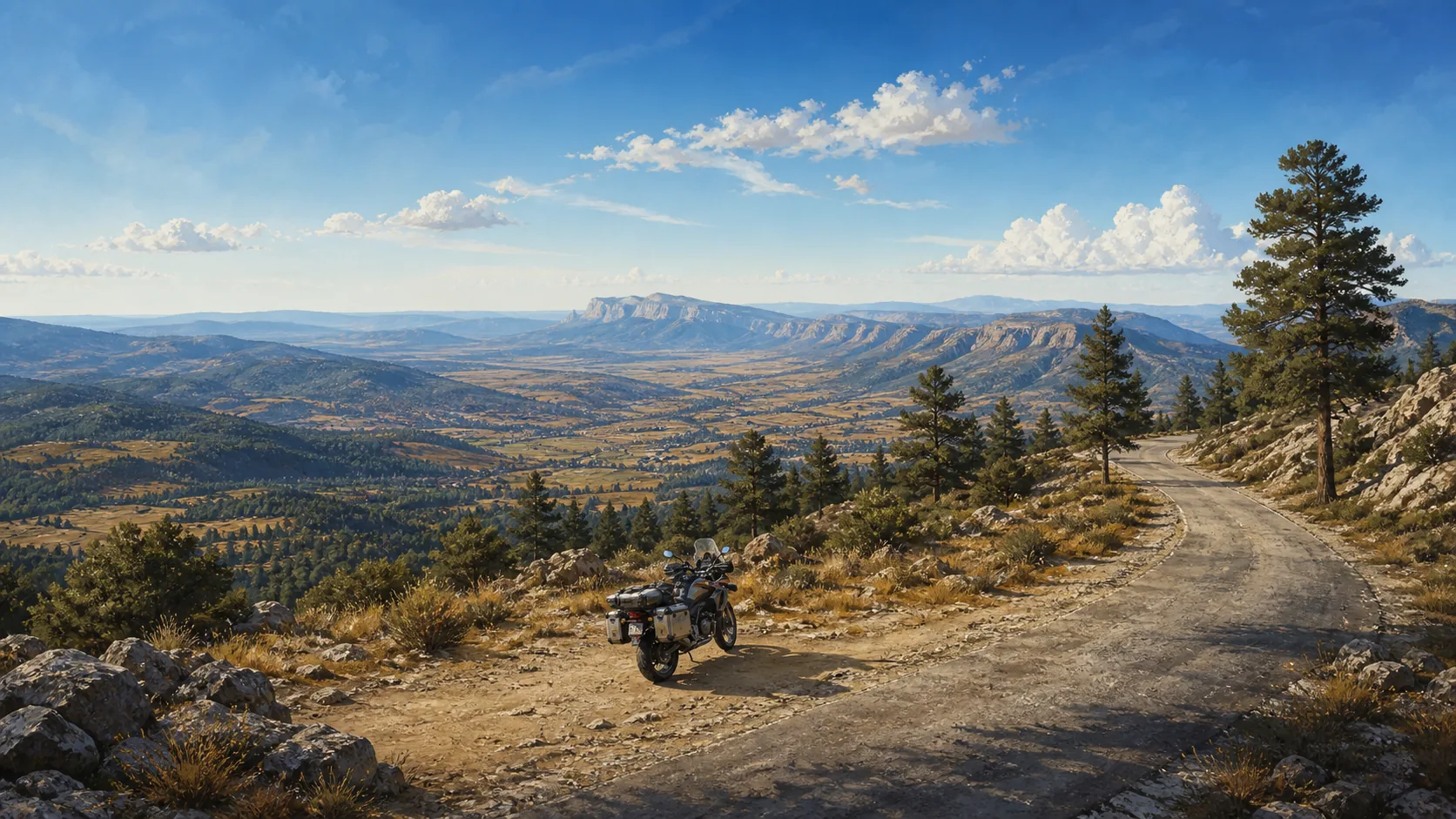
What it is: The Mirador de las Dehesas appears at the right moment: you have left the approach behind and you can still order your head before committing to the most technical block. The tourism reference places it beside the A-226 corridor, near Fortanete, with an open panorama over the valley, the farmhouses and the Sierra de la Cañada. It is not presented as reserved parking or as a compulsory stop. Its value is in offering a broad reading of the landscape before you focus on the surface again.
Why it is here: Las Dehesas is a transition point. The panorama helps you understand that the route is not only about linking curves: it is also about changing scale and recognising the territory you are crossing. After looking, put the phone away, check the next section and get back on the road at a pace you can hold. That combination of landscape and decision is what protects the rest of the day.
Rough timing: 5-10 min
How to use the stop
The best visit is simple. Arrive with the route loaded, look for the permitted access and first check whether there is real space to pull the bike off without blocking the road. The coordinate in this entry helps you find the landmark, but it does not decide for you where you can stop. Wind, gravel, snow, fog or the presence of other vehicles change the decision. The illustration that accompanies this roadbook is an original editorial resource and should not be confused with an exact view of the viewpoint.
Stop if you have margin and you can do it without awkward manoeuvres. Adjust layers, check the battery and watch how the relief changes from the open road towards the Maestrazgo. You do not need to turn the point into a photo session: a short pause is enough to enter the next chapter with more attention.
Use the navigation button as an approach and confirm the entry and the exit on the ground. Park fully outside the lane, leave room for other users and do not cross the road to find a frame. Do not take services, toilets, signal or a flat surface for granted.
When to cut it short
If your start has been delayed or the weather has closed in, ride on. The viewpoint adds when it settles you; not when it forces you to stop.
With ice, mud, strong gusts or reduced visibility, the call is to carry on. The product keeps the place so that you can choose, not to push you into an unsafe stop.
El Caimán Viewpoint
A roadside wink
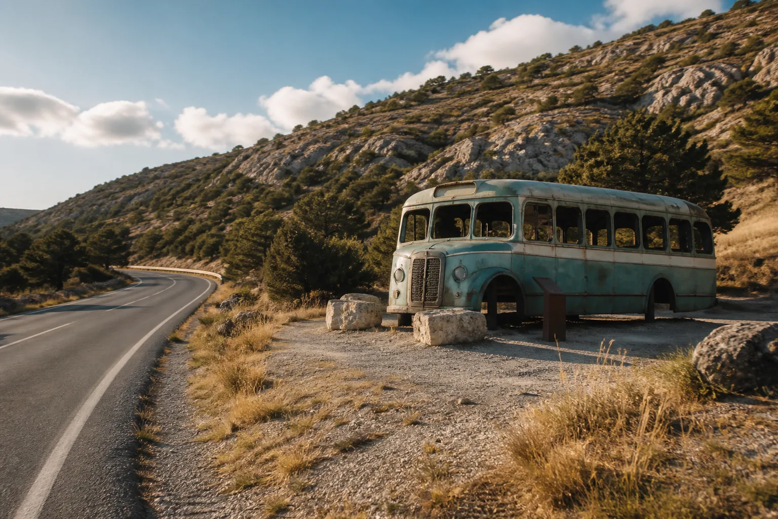
What it is: El Caimán is a small, curious stop inside the most intense section of the day. The Maestrazgo tourism source identifies it as a rest area on The Silent Route where a reproduction of an old bus is kept. The entry does not try to turn that detail into a full cultural visit: it serves to recognise a moment of the road, stretch your legs if you have margin and get back into the riding with a clear head.
El Caimán is not presented as a restaurant, petrol station, toilet or guaranteed service. It is a visual detail on the road and should be read as such.
Why it is here: Places like this work because they break the monotony without breaking the day. If you are enjoying the technical section and keeping your margin, the bus can become a nice memory. If time is tight, the right decision is to leave it behind. The route is designed so that the traveller can choose: the product does not force you to stop everywhere, it gives you context to prioritise.
Rough timing: 5 min
How to use the stop
Its value is in the scale. You do not need to plan an hour or create a mental detour; it is enough to know that it exists and decide according to the energy you have left. The Google route and the coordinates in this entry take you to the saved reference, but they do not guarantee that the space is free, that you can park right beside it or that traffic will let you stop. Look at the access and the exit first.
Stop only if you can get in and out safely. A quick photo or a water break is enough.
Look at the interpretive element from a permitted area and avoid crossing the road to photograph it. Do not lean on structures or take up other users' space. The navigation opens the point of the entry; check live where it is reasonable to stop.
When to cut it short
If there are other vehicles, poor visibility or the verge offers no margin, keep riding. The experience does not lose its meaning if you skip this point.
On this day it is better to save time for Órganos de Montoro and the viewpoint than to chase every secondary detail.
Mirador accesible de Cañada de Benatanduz Viewpoint
The viewpoint that lets you stop without complicating the day
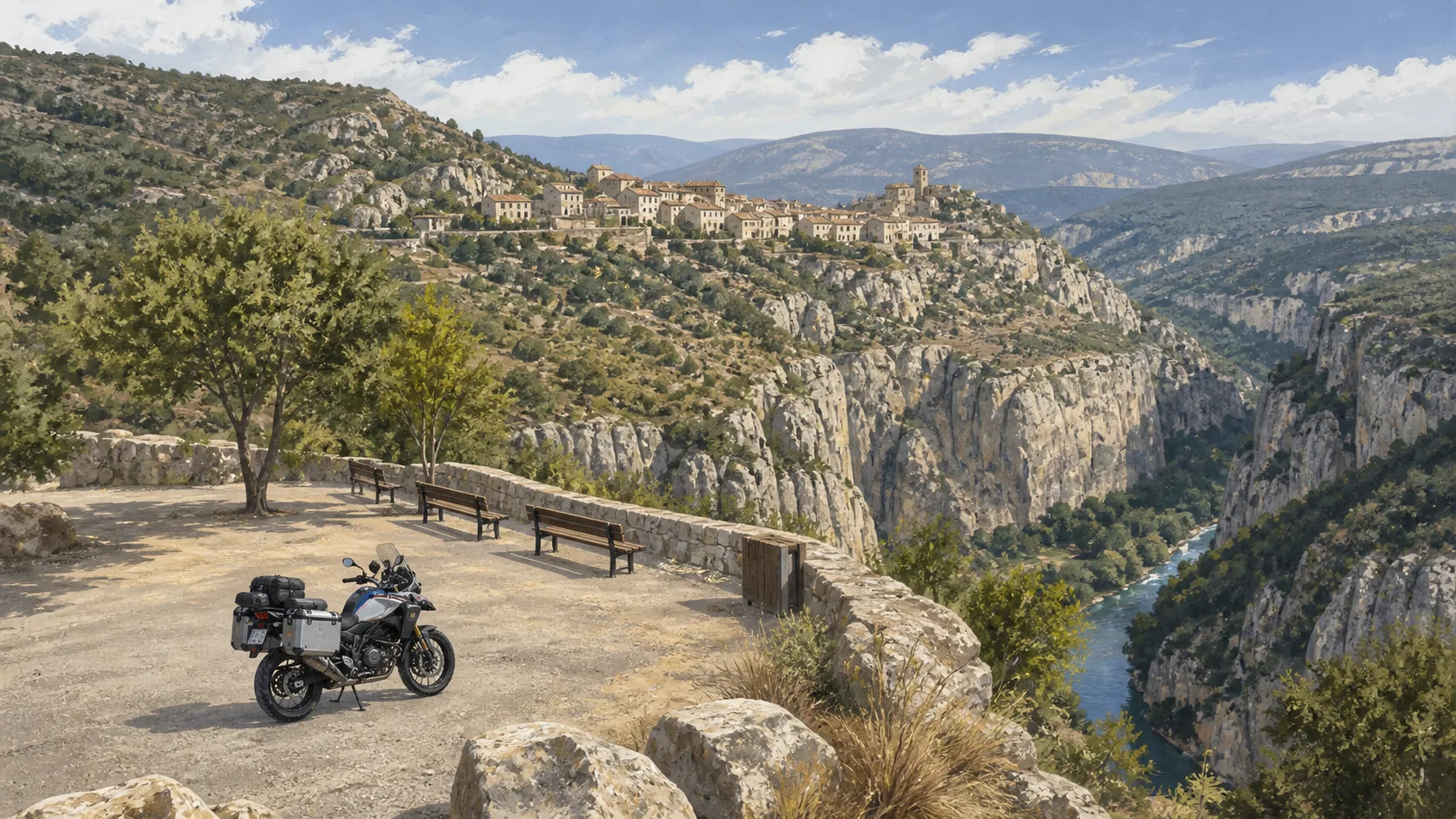
What it is: The accessible viewpoint of Cañada de Benatanduz is one of the most practically valuable additions to this day. Tourist information places it at the end of the plaza de la Villa, next to the town hall, in the Monjuí quarter, near the cemetery and the space where the old castle stood. The concreted access climbs to the spur and the official entry describes a car park with several spaces, panoramic tables, an information panel and a rest area. From there you can better understand the gorge of the river Cañada that surrounds the village.
Why it is here: Cañada de Benatanduz introduces a friendly pause in the most concentrated part of the route. This is the place to ask yourself whether you need five more minutes of rest or whether, on the contrary, it is better to carry on before the end of the day closes in. The road does not reward haste. A short stop, well chosen and without exaggerated promises, is worth more than piling up many points with no time to live them.
Rough timing: 10-15 min
How to use the stop
On a self-guided route, that combination of reading and logistics matters. It is not just a pretty place: it lets you check your tiredness, drink water and decide whether your pace fits the km still ahead. Even so, accessible does not mean that every condition is guaranteed for any vehicle or any day. The climb can feel more demanding than expected, and the space can be occupied. Go in slowly, respect residents and do not turn the map reference into permission to stop in an awkward place.
Take a real pause if you arrive with margin. Walk to the panoramic point, read the panel if it is available and use the view to measure the next block. The priority is to rest without losing control of the clock; you do not need to stretch the visit for it to make sense.
Open the navigation to the saved coordinate and confirm the final stretch on the ground. Park only where it is permitted, keep the concreted track clear and do not block the spaces. The tables, the panel and the chance to rest belong to the tourism reference; check their state on the day you pass.
Do not go near the edge of the spur to improve your photo. The gorge is better enjoyed from a stable position with the bike ready to leave.
When to cut it short
If there is local traffic, the access is wet or the space does not allow you to manoeuvre easily, stay down in the village or carry on. The recommendation is only good when the way in and the way out are clean.
Torre Gorgue Heritage
Heritage to look at, not to invade
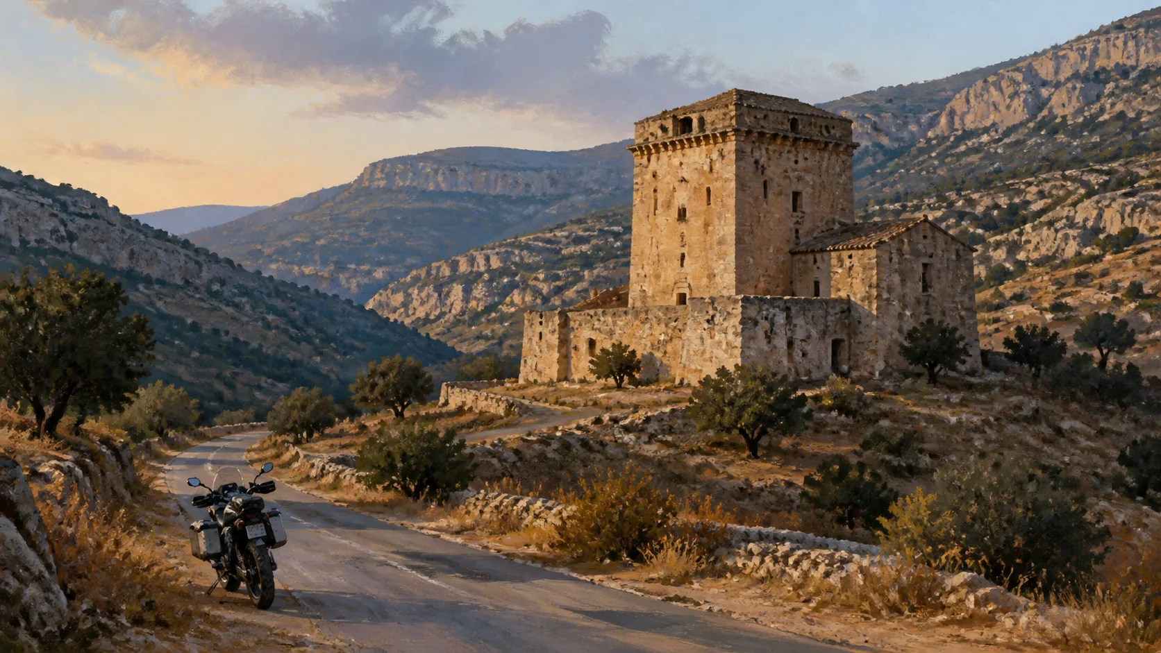
What it is: Torre Gorgue adds a historical layer to the river Cañada corridor. The Silent Route presents it within a landscape of farmhouses and defensive buildings, and this entry keeps it as a heritage landmark recognisable by its stone and the scale of the complex. Its interest does not depend on entering the building or inventing a guided visit that has not been booked. It is about seeing how a human construction fits into a harsh valley and how the road connects small traces of another way of living in the mountains.
There is no promise of an interior visit, panel, opening hours, services or exact distance to the building. This guide gives you context to choose a safe stop.
Why it is here: Torre Gorgue works as a pause for memory. On a route of curves and panoramas, this kind of landmark reminds you that the landscape is also made of work, shelter and old tracks. If you look at it calmly, the section gains depth; if the day is tight, you can leave it behind without having lost the route. The self-guided experience is precisely about having enough information to decide without improvising.
Rough timing: 5-10 min
How to use the stop
For the rider, the value is in the attention. After several viewpoints, a tower or a fortified farmhouse can go unnoticed if you are only looking for the next turn. Here it is worth dropping your visual pace a notch, recognising the complex from a distance and returning to the line. The coordinate is a navigation reference; it does not guarantee a parking platform, public access or permission to approach a farm. Nor does the editorial illustration try to reconstruct the exact architecture.
Include the stop if the arrival offers a safe observation point and if the day still has margin. A broad look and a photo from a permitted place meet the aim. You do not need to unload your luggage or turn the landmark into an excursion.
Open the map link to approach and check the last stretch against the real signage. Do not go onto private tracks, do not cross the road to gain an angle and do not block rural accesses. Observe from the public point that the situation of the moment allows.
When to cut it short
If the road is compromised, or there is dust, machinery, livestock or doubt about ownership, carry on. The mature decision is to keep the context and respect the place.
Balcón de los Forasteros Viewpoint
Entering the village to read the cliff
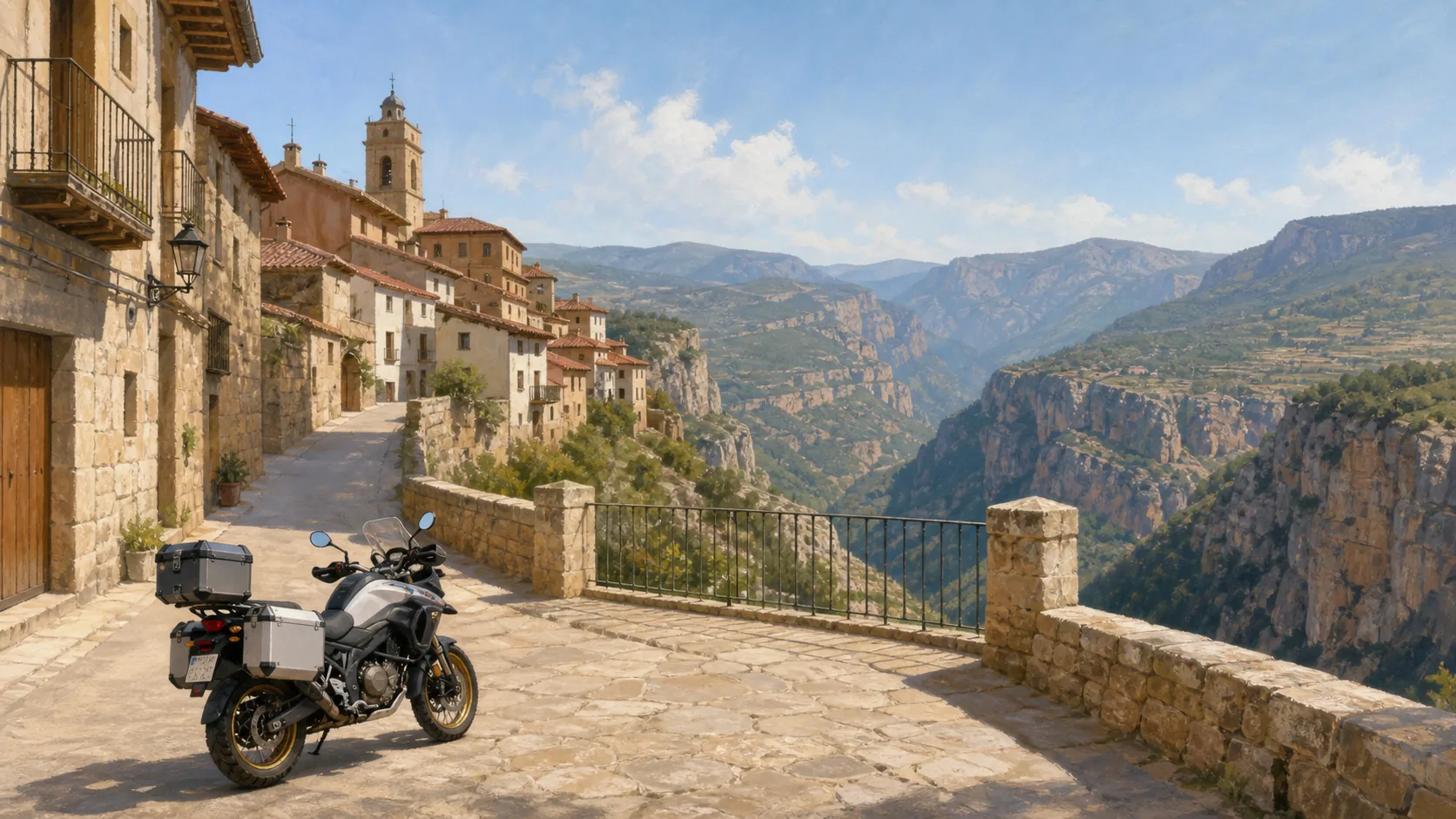
What it is: The Balcón de los Forasteros is an urban stop with an immediate visual reward. The tourism reference places it in Villarluengo, on the plaza de la Murada, above the cliff where the rivers Cañada and Palomita meet. After the road corridor, the viewpoint changes the way you look: you are no longer watching only the valley from a verge, but the relationship between the inhabited village, the rock and the watercourses that explain its position.
The illustration is an editorial recreation of the atmosphere, not a photo of the balcony. The real experience depends on the light, the weather and the space available.
Why it is here: This point reminds you that a mountain route also passes through villages that still have a life of their own. Villarluengo adds a human pause between rock, water and road. If you visit it calmly, the trip gains a different scene; if you decide not to go in, that decision is valid too. This guide does not measure success by the number of stops ticked off, but by the quality of the decisions that let you arrive at the end in good shape.
Rough timing: 10-15 min
How to use the stop
The experience needs more respect than speed. Villarluengo is not a set for the route: there are residents, narrow streets and local activity. The saved coordinate helps you approach, but it does not turn any space into parking. Look for a legal space or a place where you are not in the way, walk the last stretch if you need to and leave the bike facing out. The time given is a reading reference, not a promise that the visit can be made without traffic or other visitors.
Go in if the pace of the day allows it and if you can park without blocking a street or a home. Walk to the balcony, look at the confluence and use those minutes to recover your legs and your attention. One photo and one long breath are enough.
Use the navigation as an approach and check the last turn against local signs. Do not take a reserved space, do not leave the bike in the middle of the road and respect the pedestrian crossing. The viewpoint does not imply a restaurant, toilet, opening hours or supervision.
When to cut it short
If the village is busy, the access is awkward or you are running late, keep the image from the road and carry on. It is not worth forcing a manoeuvre for an urban stop.
Las Fábricas de Villarluengo Heritage
The road tells an industrial story too
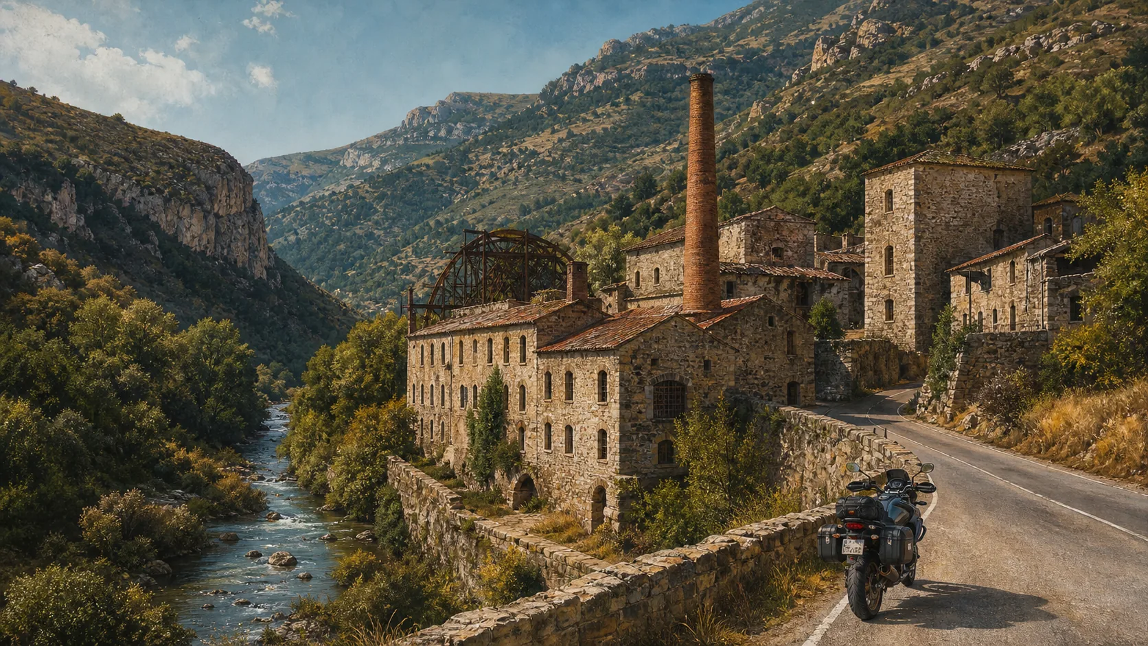
What it is: Las Fábricas de Villarluengo is one of those places that give The Silent Route depth. The complex stands beside the A-1702, tucked into the valley, and tourism documentation links it to the manufacture of continuous paper from 1789 and to a later period as a textile colony. The road stops being just a line of curves: it becomes the entrance to a landscape where water, gradient and power shaped the way people worked and lived.
Why it is here: Las Fábricas adds a different pause from the viewpoints: here the emotion comes not only from the view, but from imagining the activity that sustained this corridor. Industrial heritage turns a few minutes of observation into a fuller reading of the Maestrazgo. This guide gives you the context so that you can choose; the route is still good even if traffic, light or time make you ride past.
Rough timing: 5-10 min
How to use the stop
For a motorcycle trip, the interest is not in entering any building or promising an open industrial visit. The entry works as a reminder to observe the complex from outside, understand its scale and continue without trespassing on access points. The saved coordinate helps to place the landmark, but the verge, visibility and traffic on the A-1702 come first. The structures can look different depending on vegetation, light or the point available; the editorial illustration serves to anticipate the subject, not to replace reality.
Prioritise the look, not the long stop. If you find a legal, safe space, stop for a few minutes, read the valley and watch how the complex relates to the river and the road. One photo from a permitted point is enough.
Approach only along the public route that is open and signposted. Do not cross the road, do not enter buildings, do not climb walls and do not block doors or tracks. Do not take a museum, guided visit, toilet, café or signal for granted.
Always check the state of the road and the real chance of pulling back out. In a narrow valley, getting out well is worth more than one extra photo.
When to cut it short
If there is traffic, roadworks, poor visibility or no clear entrance, do not force your way in. The story can be understood while you keep riding.
Órganos de Montoro Viewpoint
The big visual landmark
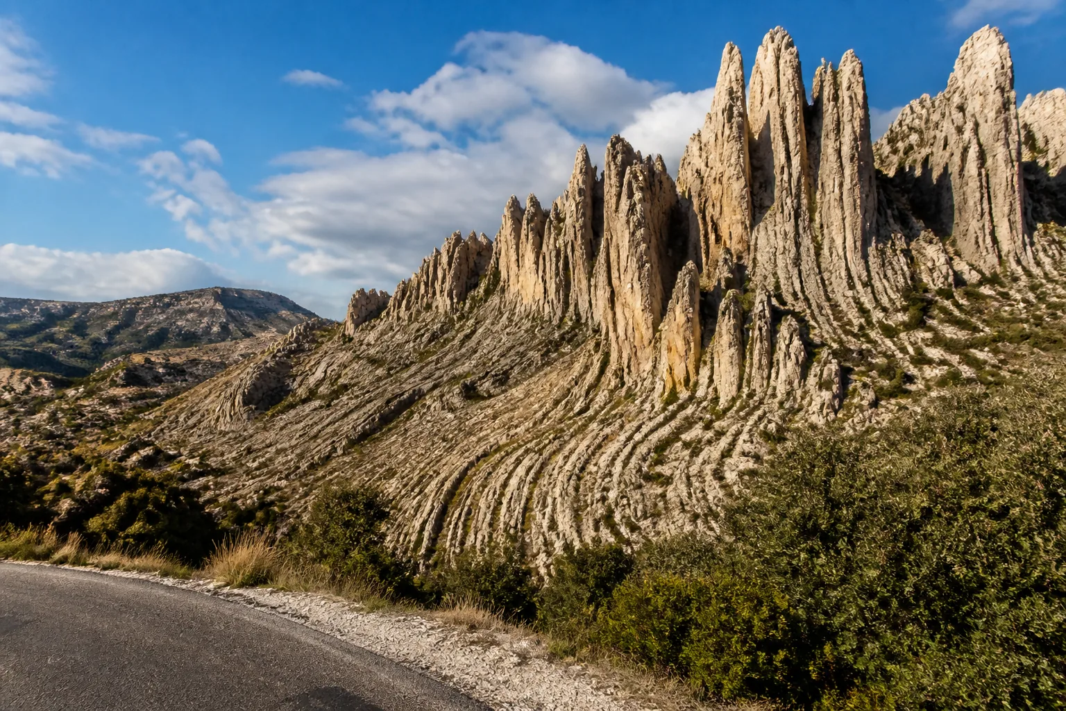
What it is: The Órganos de Montoro are the point where the day stops being just a run of curves and gains an image you will not forget. Turismo del Maestrazgo describes the geological formation and its access from the A-1702, with a viewpoint provided. In this roadbook it is treated as a priority scenic stop, but priority does not remove caution: wind, visibility, how busy the space is and the state of the surface come before the photo.
Why it is here: This is one of the places that justifies the day: not for the minutes it takes, but for the change of scale between the road and the rock. After the pause, return to the section with the same concentration you arrived with. The recommendation is to look, breathe and carry on; a good route does not need to turn every view into a long stop.
Rough timing: 10-15 min
How to use the stop
The formation is best seen with a short stop and a wide look. You do not need to walk far or turn the moment into a hike. Park in the permitted space, stay away from the carriageway and let the landscape do the work. The coordinate in this entry helps you reach the saved point; the map button does not promise you a private parking space, nor does it replace local signs.
Prioritise this stop if time and wind allow. Read the surface before you stop, leave the bike pointing out and do not take the camera out from the lane. One photo, water and a few minutes of silence are enough to take the landmark with you.
Use the day's route and the location in this entry to approach. Follow the signs and do not stray onto the A-1702 to find a frame. Keep helmet, gloves and loose objects under control so a gust does not turn them into a risk.
The viewpoint may have other visitors. Share the space and do not block the entrance or the exit for vehicles.
When to cut it short
If there is fog, strong gusts, traffic or no space, keep the point as a visual reference and carry on. The landscape is still part of the experience even if you do not get off the bike.
Mirador de Valloré Viewpoint
An exceptional place that forces a change of plan
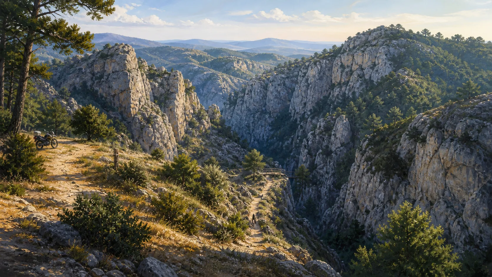
What it is: The Mirador de Valloré matters precisely because it must not be sold as a quick stop. The official PR-TE 81 proposal, the circuit around the Mirador de Valloré, turns the point into a walk on foot through the narrows of Montoro de Mezquita. The sheet for this day sets aside around a hundred minutes and sends navigation to the start of the walk, not to a promise of reaching the viewpoint by bike. If it is included without this warning, the traveller can misjudge the light and finish the day in a hurry.
Why it is here: Valloré is a lesson in route design. Not every iconic place fits in the same day, and saying so clearly increases the value of the roadbook. The entry is there so you know it exists, so you can plan it for another outing and so that, if you have exceptional margin, you decide with facts. On this day, riding past can be the most responsible way to enjoy it.
Rough timing: only with 100 real minutes
How to use the stop
The image of the gorge deserves time, proper footwear and a conscious decision. Before leaving the village, check the weather, the state of the ground, your water, your battery and your turn-around time. The equipped sections, the gradient, the heat or the humidity can change the effort. The motorcycle must stay in a permitted place in the village or at the access indicated; it does not become the vehicle for approaching the trail. The editorial illustration is not an exact photograph and does not guarantee that every element of the route is available.
Read the official information before you start, respect the signs and do not cross equipped sections if the ground is wet or you do not have the right kit. Do not leave valuables on the bike and park without blocking residents or services.
When to cut it short
Do the walk only if the day was planned with enough margin. Count the way out, the route, the way back, water, breaks and possible route-finding doubts. If you are already running late, keep Valloré as a future reference and carry on with the main day.
The recommendation is not to get there at any price. It is to save it for a slow outing, with light and energy, where the path is part of the trip.
If tiredness, a storm, extreme heat, ice, a lack of water or doubts about the line appear, turn around. A viewpoint does not justify exposing yourself or rushing the arrival.
Pitarque, Teruel, España Viewpoint
A reference, not an automatic excursion
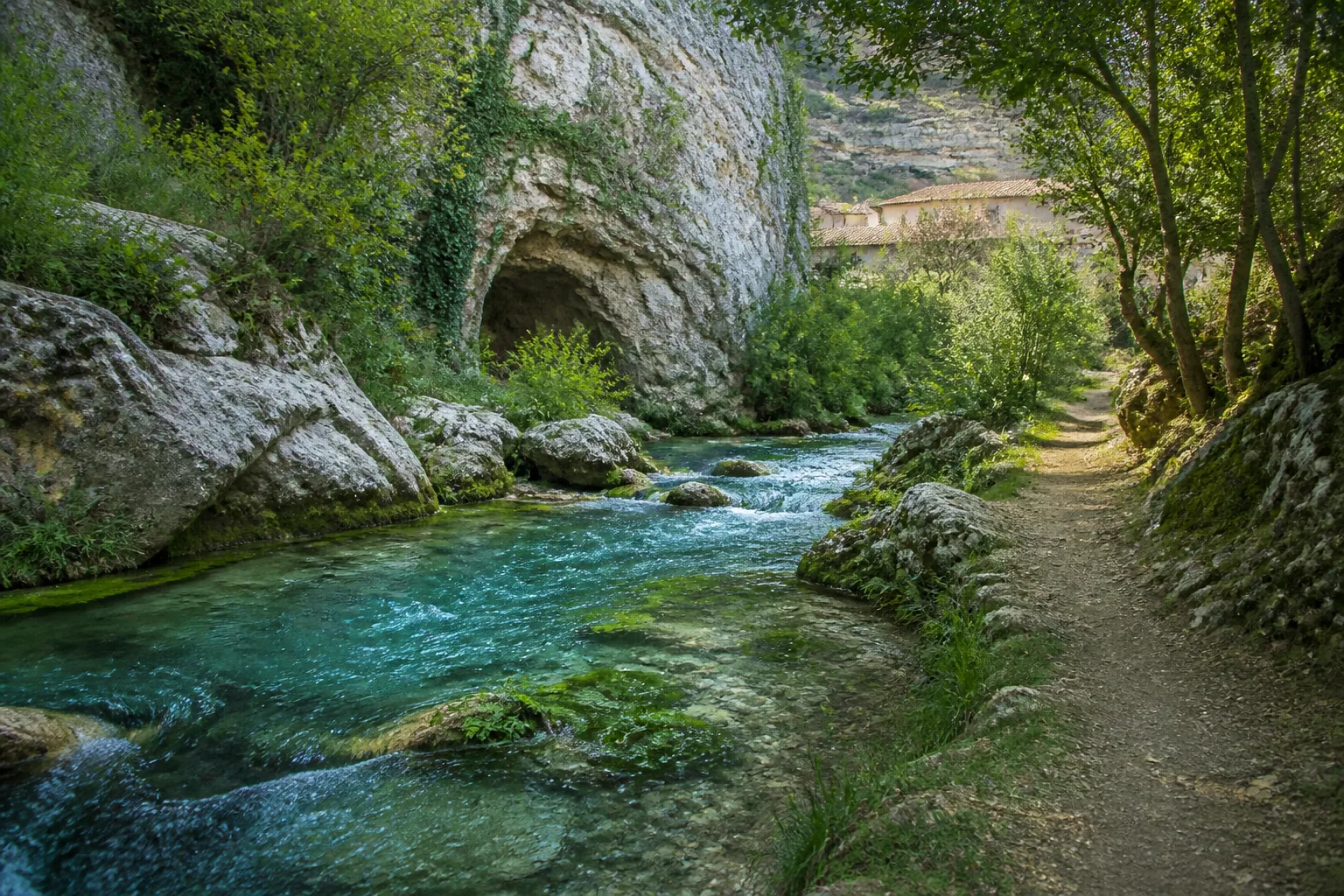
What it is: Pitarque appears on this day as a reference for the landscape of the Maestrazgo and as a possible decision to cut. Turismo del Maestrazgo lists the Nacimiento del río Pitarque among its natural monuments and places the trail in the village of Pitarque. That information matters because it avoids a common confusion: the coordinate in this entry is the saved reference point for the village, and it does not turn the spring trail into a stop straight off the road, nor does it include the time of a walk.
Why it is here: If the day is running comfortably, you can use the area to understand the link between villages, water and rock that shapes this region. If the run to Calaceite starts to tighten, Pitarque is one of the first decisions you can cut. The roadbook keeps it visible so the traveller knows what they are leaving out, not to push them into adding an unplanned walk to an already long day.
Pitarque is useful because it teaches you to tell an interesting place from a stop that suits today. The route does not lose value if the visit stays pending. In fact, keeping that discipline protects the end of the day: the viewpoint, the optional photo detail, the food and the run to Calaceite are all still ahead. The best experience may be to recognise the turn-off and carry on.
How to use the stop
If you do decide to come closer, do it with the route loaded and without promising yourself parking or direct access to the spring.
The map opens the location of this entry in Pitarque. Check the point against local signs and do not park on residents' access or on through routes. The natural trail needs separate planning, footwear and time; do not confuse it with a five-minute photo stop.
Respect the water, the protected surroundings and the quiet of the village. Do not present the illustration as an exact view of the point.
When to cut it short
Before you turn off, work out the real time for the way there, the way back and the visit. Ask yourself whether you will reach Calaceite with light and concentration. On a self-guided day, the prudent answer is usually to pass the point, read the landscape and save the trail for another plan with time of its own.
Decision: only with margin
Nacimiento del río Pitarque Viewpoint
The source of the river deserves its own time
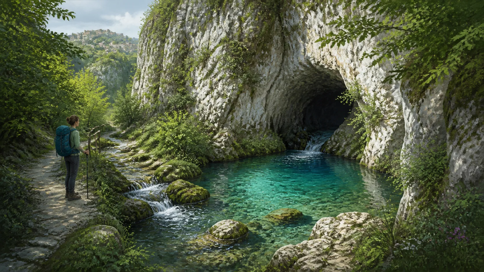
What it is: The Nacimiento del río Pitarque is one of the places with the most natural force in the area, and precisely for that reason it is worth putting in its place. The Silent Route presents it as a Natural Monument, and the approach is made on foot from Pitarque. The coordinate in this entry identifies the reference point for the whole site; the navigation button for the stop leads to the village and the operational start, and does not promise that you can ride to the water. The visit needs a trail, footwear, time and a respectful reading of the surroundings.
Why it is here: Pitarque teaches you to tell an iconic place from a stop that suits today. The value of the roadbook also lies in telling you when not to add a walk. If you decide to save it for another outing, you are not giving up the route: you are protecting the arrival, the light and the energy that make a self-guided day end well.
How to use the stop
This day is already long. That is why this guide keeps the spring as an optional decision with a high cost in time, not as a five-minute photo stop. Before you turn off, work out the whole route, the real length of the walk, the return to the village and the arrival in Calaceite. The weather counts too: a damp gorge, heat, a storm or a lack of light can turn a pleasant walk into a bad idea. The editorial illustration helps you understand the character of the place, but it does not replace the conditions of the day or the local signs.
Include it only if you have built the day around the trail and still have plenty of margin. Leave the bike where it is permitted, carry water and walking kit, and set a return time before you start.
Use the coordinate to find Pitarque and follow the official signs for the trail. Do not park on residents' access, do not leave rubbish, do not swim if the rules or the conditions do not allow it, and stay on the marked steps.
There is no promise of signal, toilets, drinking water, a guided visit or easy access for everyone. Check the information for the site before you set off.
When to cut it short
If you are tight, if the weather changes or if the day is meant to be mainly about riding, ride past without hesitating. The spring will still be a reason to come back to Pitarque with another plan.
Decision: only as a plan of its own
Mirador de la Sarteneja Viewpoint
An open panorama before you decide how much daylight is left
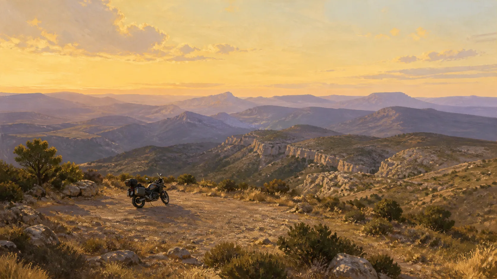
What it is: The Mirador de la Sarteneja belongs to the family of viewpoints that make the Ruta del Silencio recognisable. The official page for the route includes it among its viewpoints, and the entry for this stop places it in the area around Pitarque, where the road alternates rock, valley and open horizon. Its value is brief but real: it lets you lift your eyes, understand the width of the Maestrazgo and check whether you are still riding with the attention and the margin that the run to Calaceite demands.
Why it is here: Sarteneja is an orientation stop. After so many landmarks, the value is not in adding another name, but in recovering a full view of the day. The horizon helps you remember that the aim is not to arrive fast, but to arrive with margin. If you ride on, the panorama will still have done its job: keeping you company while you make a better decision.
Rough timing: 5-15 min
How to use the stop
The saved coordinate is a help to find the point, not a promise of parking, signs or facilities. The last access can feel different with rain, dust, vegetation or traffic. Arrive slowly, look first for a safe way in and a safe way out, and do not sacrifice a clean manoeuvre for a photo. The illustration that goes with this entry is original editorial work and is used to set the tone of the place, not to represent an exact view.
Take the pause if the approach is clear and the weather allows. Slow down, look at the relief and decide whether you will keep the following stops or whether it is better to cut. A calm photo and a check of water, battery and light meet the aim.
Open the navigation and check on the ground that the point matches a space where it is legal and reasonable to pull over. Do not stop on the lane, do not cross the road to gain perspective and do not go near unstable edges.
There is no promise of tables, a railing, a toilet, signal or opening hours. Check the real situation and share the space with other travellers.
When to cut it short
If the access forces you to manoeuvre in reverse, the ground is loose or you have already used too much margin, carry on. The viewpoint works better as an option than as an obligation.
Mirador de Peñarrubia Viewpoint
An optional detour that has to earn its place
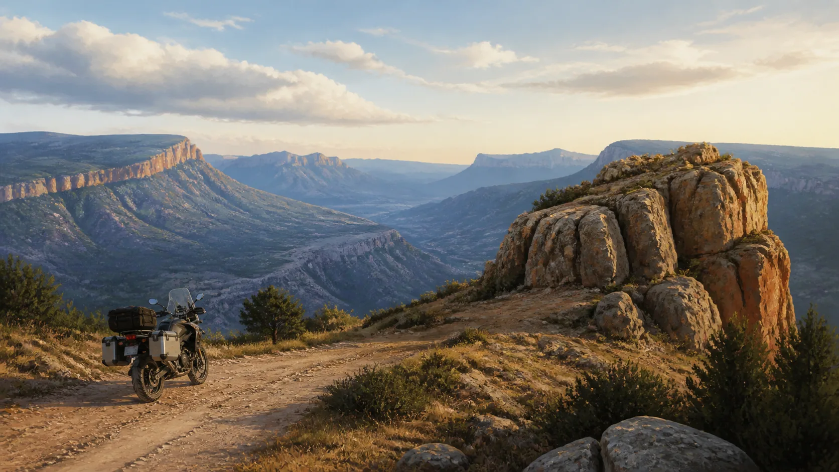
What it is: The Mirador de Peñarrubia appears as an extension of the Pitarque and Cañada block. The Ruta del Silencio includes it among its panoramic points, and this guide keeps it as an extra option for anyone who arrives with time, light and the wish to explore a local access. Its value is not in being essential, but in offering another reading of the relief: rock, scrub, ridge lines and a horizon that changes from the viewpoints on the main road.
Why it is here: Peñarrubia is an invitation to explore in measure. Extra points make sense when they widen the trip without stealing safety or light. If you find the right moment, the detour can give you a silent panorama; if not, carrying on is a fully valid decision. The main route keeps all its character and you keep the margin that makes the end enjoyable.
Rough timing: 5-15 min if you have margin
How to use the stop
On a self-guided edition, an optional detour needs clear limits. The coordinate identifies the reference point, but it does not guarantee that the last stretch is comfortable, that there is a formal parking space or that the state of the track is the same as on the day of the research. Before you turn in, check the surface, the signs, local traffic and the chance of rejoining.
Consider the stop only after confirming your arrival time in Calaceite and the energy you have left. If the access is clean, stop for a few minutes and look at how the sierra is arranged from this side. Do not turn the option into a photo chase.
Use the map to approach and check the last stretch with care. Do not enter private tracks, do not block farm access, do not stop on a blind bend and do not go near unprotected edges. The way out should be as easy as the way in.
Do not take services, railings, tables, toilets, signal or opening hours for granted. The real experience depends on the state of the access and the weather.
When to cut it short
If the ground is wet, there is livestock, roadworks or your time margin has shrunk, the right decision is not to add it.
When the day is tight, Peñarrubia is the first kind of point to cut. This roadbook works better when it lets you give something up without a sense of loss.
Mirador y monumento, The Silent Route Viewpoint
The photo that must not eat the day
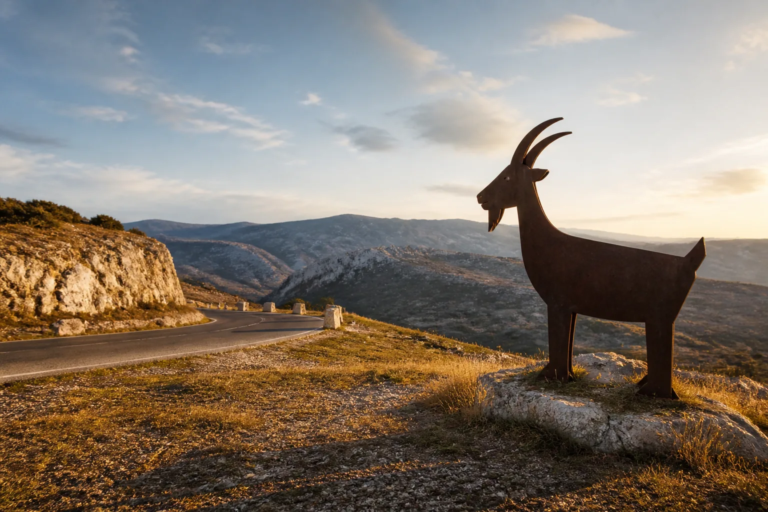
What it is: The viewpoint and monument of The Silent Route is meant for a short stop: arrive, recognise the symbol, take the photo and get back on the road. The official Turismo del Maestrazgo source identifies the Alto Maestrazgo viewpoint, known as the mirador de la cabra, and places the route symbol there. That reference explains why the point makes sense within the day; what you learn on the road adds the measure: do not turn it into a photo session or an open-ended break.
Why it is here: A memorable route needs some visual anchors, but it also needs continuity. The viewpoint works when it comes at the right moment: after the rocky block, before the run to Gargallo and the Matarraña. Take it as a pause for orientation and thanks, not as the finish. When you set off again, the roadbook keeps giving you the information that matters: next section, margin, fuel and the decision on the stops that are left.
Rough timing: 5-10 min
How to use the stop
The saved location lets you navigate to the exact point and the day's route keeps the order of the landmarks. Even so, a coordinate does not decide where you can stop. Check the access, the visibility and the room to manoeuvre.
Take one good photo, put the phone away and go back to the bike. Stand clear of the carriageway, leave the way through free and do not go near the edge to improve the frame. The stop is recommended because it concentrates the identity of the route, not because it needs a long stay.
Open the navigation for this entry and compare the point with the signs on the ground. Do not rely on stopping in the lane or crossing the road to reach the symbol. Keep helmet and gloves under control if it is windy and respect other riders.
The illustration is an original editorial resource and must not be read as an exact view of the monument.
When to cut it short
If the viewpoint is busy or the wind does not help, keep the image from a safe area or carry on. The memory is worth less than rejoining the road without tension.
If you have used margin at other points, this is a good place to apply the rule of one photo and carry on.
Guante motero Viewpoint
The extra you can skip
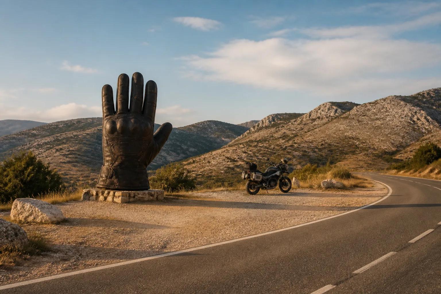
What it is: Guante Motero is a secondary photo detail on The Silent Route. A motorcycle guide identifies it as a point linked to the route and this guide keeps it as an optional stop, with a navigable coordinate and a short entry so the decision is a conscious one. It is not a fuel point, it does not set the line and it is not worth turning a 231 km day into a race to reach it.
Why it is here: Extras make sense when they do not compete with the main experience. This glove works as a signature of the trip and as a small reward for anyone who arrives with margin, but the route does not depend on it. Knowing how to give up a photo preserves your concentration for the final run and stops the second half filling up with accumulated stops. On a self-guided trip, that ability to choose is part of the value you are buying.
Rough timing: 0-5 min
How to use the stop
If the pace is comfortable, it can be a nice memento: a clearly motorcycling image that sums up the tone of the route without needing much explanation. If you have already stopped at the viewpoint, at Órganos or at other points, the marginal value drops. The sensible way to use it is to check your margin, come closer only if the way in and the way out are clean, and leave before the photo becomes another long pause.
Treat it as an extra. Stop only in a safe, permitted space, without leaving the bike pointing at the carriageway or blocking the way for other users. A quick photo meets the aim. If you are in doubt, carry on without feeling you have lost anything essential.
Open the location of this entry in Google Maps and check on the ground that the point matches a place where it is reasonable to stop. Do not cross the road to gain an angle and do not lean on the installation. The illustration is original and does not show exactly the work that exists.
When to cut it short
This roadbook helps you prioritise: recommended places and refuelling come before this optional detail.
If there is traffic, dust, wind or poor visibility, put the camera away. A safe way out is always worth more than the frame.
Bar Moliner Food
Eating is a decision too
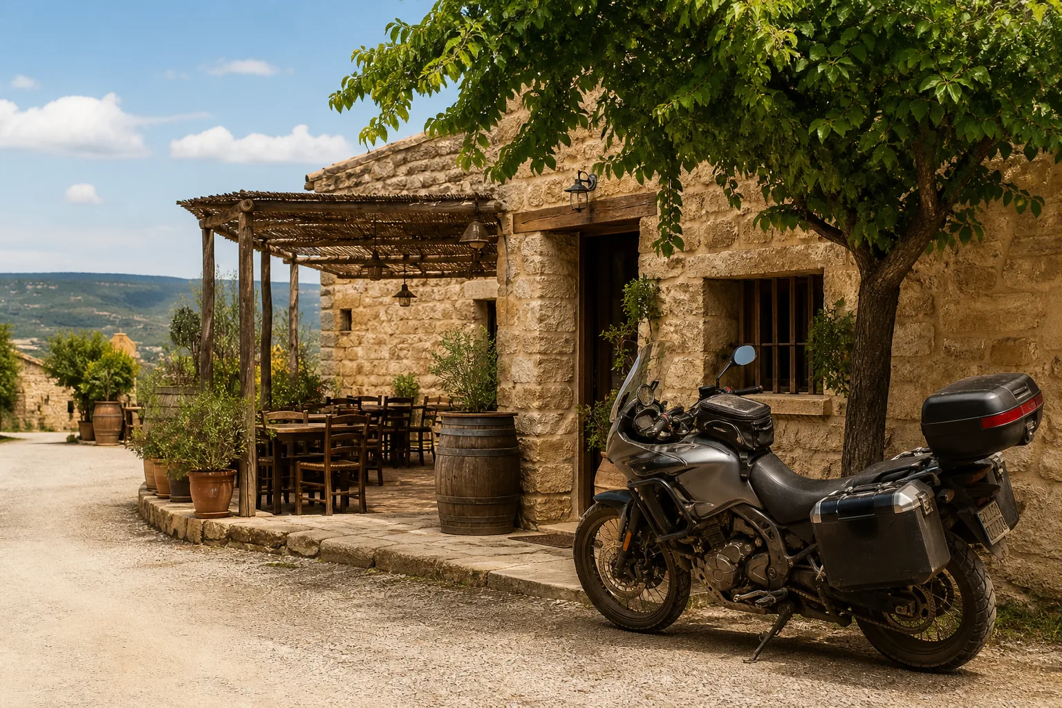
What it is: Bar Moliner appears at the end of the Ruta del Silencio block as a useful stop for food, water and recovery. The public register of establishments in Aragón includes an establishment called Moliner in Gargallo, Teruel, with a published address. That source serves to support the existence and the context of the entry, not to promise that the place is open, that it keeps the same hours or that it can serve you at the exact moment you pass. Check the situation on the day.
Why it is here: A good food stop protects the final section. Here it is worth stopping to count how many places are left and deciding which version of the arrival you want: with light, fuel and attention, or rushing so as not to give up an earlier stop. This guide offers Bar Moliner as support, not as an obligation. If you use it with judgement, the run to Calaceite becomes an enjoyable transition; if it is not available, the experience still holds because the route does not depend on a single business.
Rough timing: 20-30 min
How to use the stop
The decision is not only where to eat. It is also when to set off again and with what margin to face the final 87 km to Calaceite. A pause that comes late can be necessary, but it must have a clear limit. If you are already running late, prioritise water, simple food and an honest check of light, tiredness and fuel. The coordinate in this entry opens the saved point; it does not turn the establishment into a booking or a guaranteed service.
Use the stop to recover and take a closing decision. Confirm the place is open before you count on it. If it is closed or full, go to your alternative without wasting time searching endlessly. Keep a departure time that is compatible with reaching Calaceite in daylight and with a clear head.
Check opening hours, access and whether you can park without blocking the road. Respect residents and other customers; park the bike where it does not get in the way. If you need a specific service, ask and confirm at the time, and do not take it for granted because it appears in a register.
The visual resource is an original atmosphere illustration, not a photo of Bar Moliner. The navigation in this entry does open the saved operational point.
When to cut it short
Food, water and a real pause usually give you more than trying to fit in the last optional viewpoint.