Roads Unleashed Write to us

Routes

Portugal N2

3 days · 794 km · 27 stops

Portugal's N2, from Chaves to Faro, prepared for riding on your own: the waypoints that keep you on the road, the stages, and what to check when the app recalculates.

Not on sale yet

  • Self-guided
  • GPX files included
  • Your own dates
  • On your phone

The roadbook

The whole journey, arranged so the road stays the point.

It is not a guided trip, and it is not a track file on its own. It is the day already worked out, with the practical detail in the same place as the road.

  • 01The whole route, stage by stage.
  • 02Distances and realistic riding times.
  • 03The stops that earn their place.
  • 04Where to stay and where to eat.
  • 05What to know before each day starts.
  • 06GPX files for your own navigator.
Roads Unleashed 21:04
The day

The day, stage by stage

First stageRoute
Second stageRoute
A key stop A wide lay-by at the roadside, with the whole valley in front of you.
The note you want before setting off: what to expect on the road, and what to check first.
An example of the day view. A real day is not published on this site yet.

The route

The stops, one by one.

Every stop in the roadbook has been ridden to and stood at. These are the ones on this route.

  • Posto de Turismo de Vidago Coffee stop
  • A Toca Café & Lounge Coffee stop
  • Transmontano Café & Snacks, Lugar Da Ermida, EN2, 5000-027 Vila Real, Portugal Coffee stop
  • Miradouro de Santa Bárbara Viewpoint
  • Museu do Douro Heritage
  • Lamego y Santuario de Nossa Senhora dos Remédios Heritage
  • Loja de Turismo de Viseu Heritage
  • Santa Comba Dão Regroup
  • Posto de Turismo Penacova Viewpoint
  • Ponte Real de Góis Viewpoint
  • Marco del km 300 de la EN2 - Alvares Viewpoint
  • Museu da Geodesia Viewpoint
  • Abrantes - comida y mirador del castillo Food
  • Posto de turismo Abrantes - Welcome center Viewpoint
  • Miradouro da Barragem de Montargil Viewpoint
  • Posto de Turismo de Avis Viewpoint
  • Miradouro de Mora Viewpoint
  • Castelo de Montemor-o-Novo Heritage
  • Posto de Turismo de Montemor-o-Novo Viewpoint
  • Posto de Turismo de Évora Viewpoint
  • Capilla de los huesos Heritage
  • Templo Romano de Évora Heritage
  • Parque Mineiro de Aljustrel Viewpoint
  • Posto De Turismo Castro Verde Viewpoint
  • Casa Memória EN2 Heritage
  • Ruinas romanas de Milreu Heritage
  • Oficina de Turismo Viewpoint

The route, day by day

Every day, already worked out.

What each day asks of you, what to check before setting off, and where to stop for a reason. The places open into their own guide.

Day 1

Chaves - Aguieira

230 km

From Chaves to the Mondego following the Nacional 2 through Vidago, Pedras Salgadas, Vila Pouca de Aguiar, Vila Real, Régua, Lamego, Viseu and Santa Comba Dão. Google Maps tends to optimise away from the N2: use the link with the waypoints and check it against Calimoto.

Before you set off

A long opening day into the interior. Keep the Calimoto geometry and use Google Maps only with the N2 waypoints. For stops with content of their own, choose the Museu do Douro or Lamego; do not try to do both visits in full if time closes in. The remaining points stay out of the self-guided edition until a reviewed entry is available. If you are running late, stay on the road and reach Quinta da Conchada with margin.

Museu do Douro Heritage

Museu do Douro: putting work into the landscape
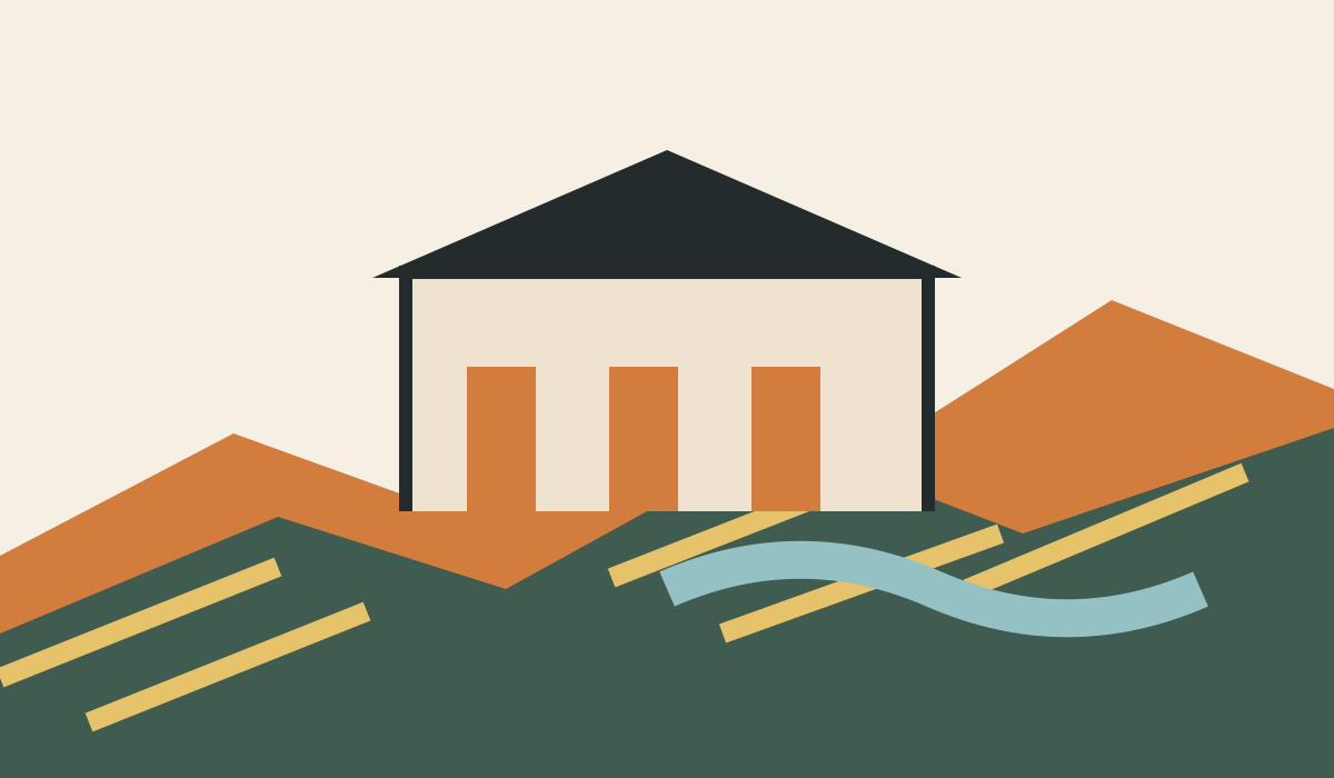
Original editorial illustration of the Museu do Douro
Original editorial illustration created for this roadbook; it is not a documentary photograph of the museum.

What it is: Peso da Régua comes after a road where the vineyard seems to take up everything. Going into the Museu do Douro corrects that first impression: the valley is not just a postcard of ordered slopes but a territory worked, transported and transformed over generations. The museum occupies the Casa da Companhia and presents Douro culture and the relationship between landscape, work and wine. The institution keeps visiting and contact information; check opening times and possible events before giving it an important part of the day.

Why it is here: This stop fits the first day because it changes the way you look at what you have just ridden. After the museum, the terraces, the walls and the river stop being scenery. It also has a clear cost: Chaves–Faro is a long crossing and you still have to reach Quinta da Conchada. Here you do not win by seeing everything, but by leaving with a clear idea of the Douro and keeping energy for the road.

Notice the scale of human work against the slope. That is the idea that can stay with you when you take the bars again. The Douro makes more sense when the landscape stops looking inevitable and shows the effort that holds it up. If you leave the museum looking differently at the walls, the terraces and the river, the stop has already done its job.

Rough timing: 45 minutes if you go in; 10 minutes if you prefer a pause outside.
How to use the stop

Decide before you park whether you really have three quarters of an hour. Look for a permitted, stable place out of the traffic flow; do not count on a space reserved for motorcycles. Inside, choose a short, attentive route instead of trying to exhaust every room. One piece, one map of the territory and one explanation of the work behind the wine can be enough to make the visit worthwhile.

  • If there is a queue or a special event, switch to a pause outside.
  • Leave margin to drink water, gear up and leave Régua without rushing.
  • When you get back to the bike, confirm the next destination before pulling out.

Current information is on the official visit page; the address and institutional details are checked on Museu do Douro contact.

When to cut it short

If you have already spent margin in the valley, the museum is about to close or town traffic has worn you down more than expected, do not force the visit. Ten minutes beside the building are enough to change pace and remember why this place is here. Then carry on. Skipping a visit does not make the N2 poorer; arriving tired and rushing the end of the day can spoil it. Between this stop and Lamego it is better to choose one full cultural experience than to add both out of duty.

The real trade-off is simple: if you go in, you accept a slightly later arrival; if you carry on, you keep light and rest. No photograph is worth riding the last km in a hurry. The museum stays as a way into reading the valley, not as a box you have to tick.

Lamego y Santuario de Nossa Senhora dos Remédios Heritage

Nossa Senhora dos Remédios: climb only if you can come down unhurried
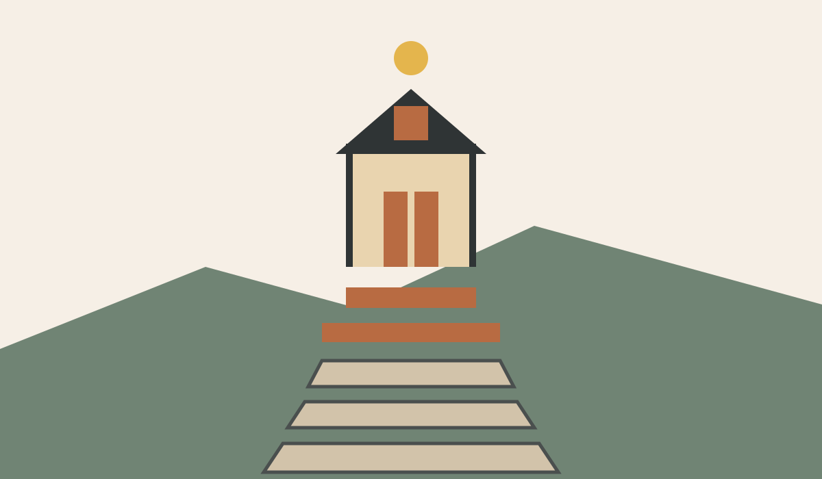
Original editorial illustration of the Santuario de Nossa Senhora dos Remédios
Original editorial illustration created for this roadbook; it is not a documentary photograph of the sanctuary.

What it is: The sanctuary looks over Lamego from a high position and brings together granite baroque architecture, a staircase and the townscape. Lamego town council dates the foundation stone to 1750 and presents the complex as built and landscape heritage. The sanctuary website gives the address and contact details. Opening times, services and access can change, so check them before making the climb the centre of the day.

Why it is here: The interest lies in the whole axis: town, staircase, façade and height. From the bottom you can already read much of the place. Climbing every step adds time, heat and effort to a motorcycle day that is not over yet. So the decision is not “see it or miss it”, but choosing how far you need to walk to understand it.

The staircase is meant to be walked with the body and watched in perspective. You do not have to conquer it. Stop where you can still look with attention, turn back and save energy for the rest of the day. The strongest memory may be precisely the moment you decide you have seen enough.

Rough timing: 30 minutes for the outside and the first flight of the staircase; 60 minutes or more if you want to walk the whole complex calmly.
How to use the stop

Look for legal, stable parking in the town area and continue on foot. Do not bring the bike up to the staircase or block residents' access, services or a ceremony. Start by looking at the composition from below. Then walk only the first flight, gain perspective and decide whether your body and the timetable allow you to go on. In the heat, water and footwear matter more than reaching the highest point.

  • Allow 20 to 30 minutes for the façade, the axis and the view.
  • If there is a service or a large crowd, keep your distance and limit the visit to the outside.
  • Before setting off, confirm the next destination and avoid improvising through the centre.

The heritage context is on the Lamego town council page; address and contact, on the sanctuary website.

When to cut it short

If you have already been into the Museu do Douro, the day has fallen behind or the heat makes the climb unpleasant, keep to the outside reading. The great perspective from the base is not a lesser version: it explains the ambition of the complex and its relationship with Lamego. You can give ten minutes to that image and go back to the road without turning the stop into a debt.

Cutting here protects the arrival at Quinta da Conchada. Between Régua and Lamego, one long visit usually makes more sense than two done in a hurry. If you choose the sanctuary, accept the walking; if you do not feel like walking, do not stretch the stop looking for a photograph from the bike. Carrying on rested is a complete decision, not a failure.
Day 2

Aguieira - Évora

314 km

The most delicate day for navigation: Aguieira, Góis, Alvares, Sertã, Vila de Rei, Abrantes, Ponte de Sor, Montargil, Mora, Ciborro, Montemor-o-Novo and Évora. Do not accept a Google route that cuts the N2 axis.

Before you set off

A 314 km day: here the order matters, not the accumulation of visits. The three entries prepared are Ponte Real de Góis, Museu da Geodesia and Castelo de Montemor-o-Novo. Choose two at most if you want to keep margin for the N2 corridor and Évora. The km 300 marker, Montargil, Mora and the information points stay out of the self-guided view until their entries and navigation are resolved at the same level of detail. Always check the waypoints before setting off.

Ponte Real de Góis Viewpoint

Ponte Real de Góis: get off the bike to listen to the Ceira

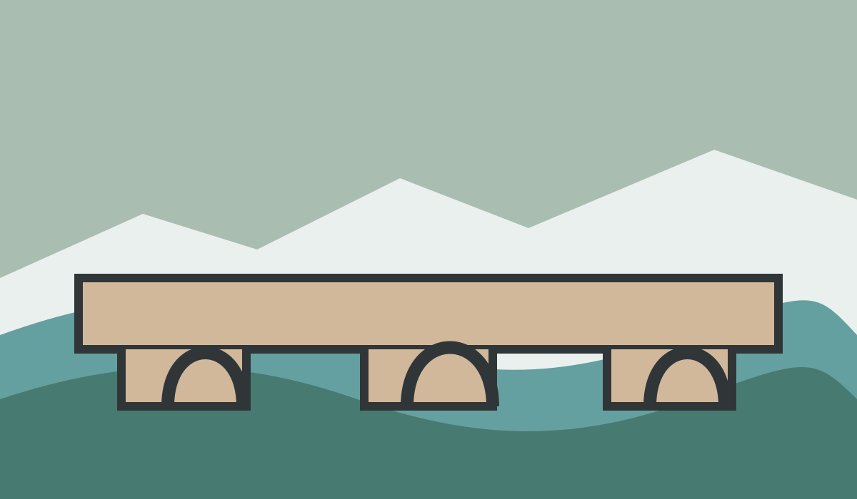
Original editorial illustration of the Ponte Real de Góis
Original editorial illustration created for this roadbook; it is not a documentary photograph of the bridge.

What it is: Góis council documents the Ponte Real over the river Ceira, built in 1533 during the reign of D. João III, with three arches and heritage protection. Stone and water explain an old way of crossing this territory. After the mountain sections, the pause swaps engine noise for the sound of the river and gives the road back its human scale.

Why it is here: You do not need to turn Góis into a town visit. The bridge works precisely because it is short: park properly, walk a few minutes, watch how the arches rest on the riverbed and come back. That simplicity also asks for judgement. The stone can be uneven or wet, and chasing a camera angle from an awkward spot adds nothing to the experience.

Notice the plainness of a structure that still explains where it was possible to cross. The N2 links places, but it is structures like this that remind you that communication existed before the asphalt. Fifteen minutes are enough if you spend them really looking. The right measure is to get back on the bike calmer, not with another collection of images.

Rough timing: 15–20 minutes.
How to use the stop

Leave the bike only where it is permitted and do not block homes, entrances or the passage of other users. Walk up in reasonable footwear. First look at the whole structure from a stable spot; then find the three arches and the relationship between the deck, the supports and the Ceira. If the river level or the light changes, the reading of the place changes with it.

  • In rain or with wet stone, stay at the safe point.
  • Do not climb, do not cross barriers and do not turn the walk into an exploration with no clear way back.
  • Before you gear up, take a minute to drink water and check the next section.

The history and listing of the bridge can be checked on the council page for the Ponte Real.

When to cut it short

If you cannot find clear parking, the ground is slippery or the previous section has demanded more concentration than you expected, carry on. The stop only makes sense if you can make it without tension. Do not ride around Góis looking for a better approach and do not leave the bike in a doubtful spot to save two minutes.

The second day is long and still offers more costly decisions, such as the Museu da Geodesia or the Castelo de Montemor-o-Novo. Giving this one up keeps a small margin that may be valuable later. If you stop, let it be for the water and the stone; if not, let the fleeting view of the Ceira mark the change of landscape and go back to concentrating on the road.

Museu da Geodesia Viewpoint

Museu da Geodesia: finding the centre without losing your bearings

Original editorial illustration of the Museu da Geodesia
Original editorial illustration created for this roadbook; it is not a documentary photograph of the museum.

What it is: The Município de Vila de Rei explains that the Museu da Geodesia opened in 2002 in collaboration with the Direção-Geral do Território. The council information places the Centro Geodésico 1.8 km from Vila de Rei and describes the final access and a 360-degree view. Services and opening times can vary, so check them before relying on an indoor visit.

Why it is here: This detour makes sense in the middle of Portugal and in the middle of the second day. The road makes you read curves and short distances; the height gives back the scale of the country at once. The contrast is the content of the stop. You do not need to turn it into a technical lesson or chase a symbolic precision: it is enough to understand how a territory is measured and to look from a point that opens it in every direction.

The paradox of the place is useful: an exact coordinate opens a wide view. Stay a few minutes without a screen and let the horizon reorder the distances. When you get back on the bike you will know better where you are, but also how much road is left. That awareness is worth more than an extensive visit.

Rough timing: 30 minutes; add margin if you want to go in and stop at the observation point.
How to use the stop

Check the opening times in the council information and plan a compact visit. Park in the designated area, never on a verge or an entrance, and walk the final stretch with water if it is hot. Outside, look for the horizon first and work out where you have come from. Inside, if it is open, choose the explanation that connects geodesy with the territory; you do not need to exhaust the display.

  • Leave time to gear up again without rushing.
  • In fog or poor visibility the panoramic value drops and the detour may stop being worth it.
  • Before setting off, confirm the way back to the N2 and the next destination.

See the museum's official information and the council page for the Centro Geodésico.

When to cut it short

Skip the stop if you are late, the heat has worn you down or cloud removes the view. The geodetic centre will still be an interesting reference, but it must not take the margin you need for Abrantes and the long run into the Alentejo. Nor is it worth coming all this way just to touch a marker and hurry off.

On this day it is better to pick at most two stops with time of their own. If you have already stopped calmly in Góis and want to walk around Montemor-o-Novo, the Geodesia can drop out. If you need horizon and a clean pause, then this is the place and the castle can be shortened afterwards. Choosing is part of the route.

Castelo de Montemor-o-Novo Heritage

Castelo de Montemor-o-Novo: the last high point before Évora

Original editorial illustration of the Castelo de Montemor-o-Novo
Original editorial illustration created for this roadbook; it is not a documentary photograph of the castle.

What it is: Turismo Militar documents the castle and its location, and VisitPortugal includes it among the heritage of Montemor-o-Novo. The raised enclosure brings together ruin, town and plain. Its strength is not in stacking up rooms, but in making the change towards the Alentejo visible at the end of a very long day.

Why it is here: Arriving here after Góis, Vila de Rei and many km turns the visit into a measure of your own tiredness. If you are still walking with attention, the height gives you a wide reading of the territory. If you only want to finish as soon as possible, the castle can become forty minutes badly spent. The honesty of that decision matters more than completing another point.

Look for the relationship between the stone close to you and the open distance. There is the image that orders the end of the day. You do not need to walk to the last corner to understand it. Turn back when your attention starts to drop, not when you have exhausted the enclosure. The best exit is the one that still lets you enjoy the road to Évora.

Rough timing: 45 minutes for the outside, the walls and the landscape; more if you find open spaces and decide to go in.
How to use the stop

Look for legal parking in the town and finish the approach on foot. The ground can be steep, with uneven stone and exposure to sun or wind. Start with the walls and the landscape; only then decide whether you have time for other spaces. Carry water and check beforehand for opening times, works or closures that may limit access.

  • Do not park in emergency access points and do not ride the bike in on unauthorised tracks.
  • Up high, rain and wind can turn a pleasant visit into a clumsy manoeuvre.
  • Keep margin to come down, gear up and complete the arrival in Évora in daylight.

Check the location and context on Turismo Militar and VisitPortugal.

When to cut it short

Cut the visit to ten minutes if the day has stretched. From a safe point you can read the outline, the defensive position and the plain without walking the whole enclosure. If even that margin is not clean, carry on to Évora. Do not try to win the time back afterwards with speed.

Montemor competes with the other stops of this day, not with them on an accumulating list. If you have given time to the Museu da Geodesia, perhaps the outside is enough here. If you skipped the Geodesia and still want a pause with horizon, the castle can be the final choice. The concrete thing you give up is the interior: the landscape and the position still explain the place.

Day 3

Évora - Faro - Loulé

250 km

Last push towards Faro through the Alentejo and the Algarve: Ferreira do Alentejo, Aljustrel, Castro Verde, Almodôvar, Ameixial, São Brás de Alportel, Estoi and Faro, with a separate final link to Loulé.

Before you set off

The last day keeps the N2 as far as Faro and ends with the arrival milestone; the Faro–Loulé link comes later and is not part of the historic N2. The two entries prepared are Parque Mineiro de Aljustrel and Casa Memória EN2: choose one depending on your margin. Milreu is not shown in this edition because the heritage source consulted marks it as temporarily closed for works. Do not swap a visit for speed; keep the road, the light and the arrival.

Parque Mineiro de Aljustrel Viewpoint

Parque Mineiro de Aljustrel: the underground tells the route too

Original editorial illustration of the Parque Mineiro de Aljustrel
Original editorial illustration created for this roadbook; it is not a documentary photograph of the park.

What it is: The Junta de Freguesia de Aljustrel presents the Parque Mineiro as a space of history, heritage, geology and industrial tourism. On the last day its role is to break the idea of an empty south: under the open landscape there is work, extraction, plant and a memory that has shaped the town.

Why it is here: The stop works when you arrive with a simple question: what is under the road you are crossing. You do not need to complete every installation to find an answer. Towers, industrial volumes, spoil heaps and changes of colour in the ground already speak of another relationship with the landscape. Check beforehand which spaces and routes are active; a mining area is not improvised or explored on your own.

A journey is also built from working landscapes, not only from viewpoints. Here it is worth looking at the traces of work without romanticising or invading them. If you leave understanding that the colour and shape of the ground have a human history, the stop will have added a real layer to the road towards the Algarve.

Rough timing: 45 minutes if you arrive with the visit prepared; 10–15 minutes for an outside reading.
How to use the stop

Check the local information before setting off and organise entry if the site requires it. Park where the site or the signs indicate, without assuming a specific space for motorcycles. Follow the staff instructions, respect closures and choose a short route if you still want to reach the Serra do Caldeirão and Faro with energy.

  • Do not cross installations or unauthorised areas to get a photograph.
  • In heat, carry water and protect your kit from the dust.
  • When you finish, confirm the exit towards Castro Verde and Almodôvar before moving off.

The description and local reference are on the Junta de Freguesia de Aljustrel page.

When to cut it short

If you could not confirm opening, there is no margin or the full visit would leave you arriving after dark, limit the stop to the outside from a legal and safe place. Ten minutes are enough to recognise that Aljustrel is not an arbitrary interruption of the N2. Look at the scale of the structures and the way mining activity is written into the ground; then carry on.

The alternative is not to speed up but to cut. On this day you should choose between a mining visit and the Casa Memória EN2 if the timetable is tight. Aljustrel offers the reading of the underground; São Brás de Alportel, the memory of the road itself. Both make sense, but neither is compulsory. Keep fuel, attention and light for the close.

Casa Memória EN2 Heritage

Casa Memória EN2: before Faro, look back at the road you have ridden

Original editorial illustration of the Casa Memória EN2
Original editorial illustration created for this roadbook; it is not a documentary photograph of the house.

What it is: Rota N2 identifies the Casa Memória in São Brás de Alportel as a former roadmender's house linked to the EN2/ER270 and as a place of exhibitions and memory of the journey. It appears almost at the end with a precise role: turning the km already ridden into a story of maintenance, signs, ditches, repairs and people.

Why it is here: After crossing Portugal, it is easy to reduce the end to getting a photograph in Faro. This house proposes the opposite: slow down and think about everything that allows a road to exist. It adds no destination alien to the N2; it talks about the route itself. That is why it can be a more intimate than spectacular stop and, at the same time, a more coherent close.

São Brás de Alportel invites you to close the journey in your head, but Faro is still the historic finish. Keep that difference. Here you can understand the road; there you will finish riding it. Between the two, avoid the anxiety of arrival and ride the last km with the same attention as the first. The best memory is not a collection of stamps but a sequence you can still tell.

Rough timing: 30 minutes if the space is open; 10 minutes for the outside.
How to use the stop

Check opening and visiting conditions before counting on the interior. Park where the local signs allow and respect the surroundings. Inside, spend half an hour connecting the building, the objects and the trade with what you have seen on the journey. Ask before photographing people or spaces that have restrictions.

  • Do not take a stable timetable or entry without booking for granted.
  • Choose a compact visit: you still have to keep the N2 as far as Faro.
  • Before setting off, confirm the final destination and remember that the later link to Loulé is no longer the historic N2.

The available reference is Casa Memória EN2 on Rota N2.

When to cut it short

Take an outside pause only when you can park legally and safely. Look at the domestic scale of the building: the road was also sustained from places like this, not only from large infrastructure. If there is no clear point to stop, carry on. The memory of the N2 does not depend on going into a room.

If you have already visited the Parque Mineiro de Aljustrel, this can be a short observation. If you skipped Aljustrel and want one last piece of content before Faro, the house deserves more time. What you should not do is complete both at the cost of rushing the Serra do Caldeirão or the finish. Arriving in one piece is part of the meaning of the route.

We do not sell a line on a map. We sell a day that already works.

What is included

Everything you need to ride it

  • The route, stage by stage, with the stops that earn their place.
  • Distances and realistic riding times for each day.
  • Where to stay and where to eat along the way.
  • GPX files for your own navigator, and the route on your phone.
  • Access for a set period, with the start date you choose.

What is not

And what stays yours

  • A guide. Nobody rides with you: the route is the guide.
  • A group. You set the pace, the stops and the start of each day.
  • Bookings. We tell you where to stay; booking it is yours.
  • Travel to the start, fuel and meals.

How it works

Three steps. Then it is yours.

Choose the route. Pick your start date inside the access period. Get your link by email and open the first day when you are ready.

The contracting conditions are already published. Access is not on sale yet: when a route opens for sale, its price, its access period and its checkout appear on its own page, before anyone can pay.